Air exploration
AIR EXPLORATION
Under remote exploration for oil and gas is a complexaerospace research aimed at the discovery of hydrocarbon deposits or oil and gas prospect evaluation of the subsoil areas (see Scheme).
The purpose of aremoteexploration - forecast, resource allocation and assessment of the prospects for potential hydrocarbon traps based on the identification and analysis of the structural forms of the sedimentary cover and the Foundation, as well as modern local geodynamic anomalies, zones of mineral tumors and altered landscapes (category P3).
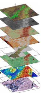
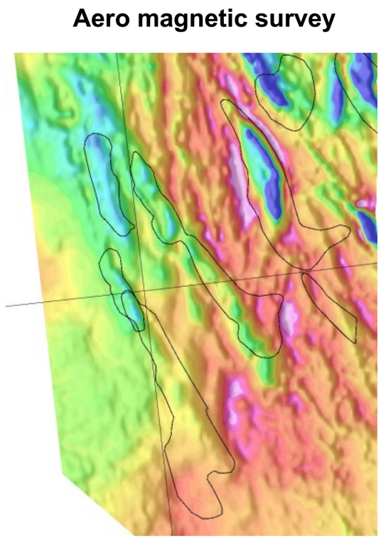
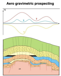
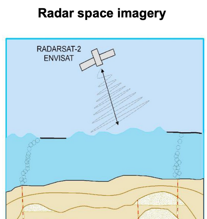
Input for remote exploration are space image of the study area, digital elevation models, digital models of gravitational and magnetic fields as well as geological and geophysical information obtained during previous studies and collected in the form of a project in geoinformation system.
The main method of our research is integrated analysis of gravity, magnetic, seismic, aerospace and geological data, which is the main source of new information on the Geology and localization of perspective objects for hydrocarbons.
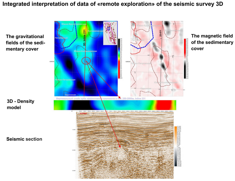
The end product of our technologies is a qualitative increase in the effectiveness of
exploration and effective construction of exploratory wells at substantial savings.
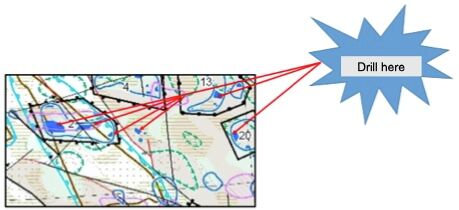
For example, the chief geologist of the French company "Total" Jean Laherrire directly says that a joint aerospace complex of geophysical data, processed with the materials of the 3D seismic survey is a very precise «surgical tool» for drilling operations.